One day the UK has calm skies; the next, powerful winds, heavy rain and dramatic clouds arrive from the Atlantic. Storms are a familiar part of British weather, especially in autumn and winter. But how do storms form, and why does the UK experience so many of them?
The answer involves contrasts between warm and cold air, falling atmospheric pressure and strong winds high above the ground. The jet stream helps steer weather systems towards Britain, while differences in air pressure create the gusts we feel at the surface.
There is more than one type of storm. A widespread Atlantic windstorm develops differently from a localised summer thunderstorm. This guide explains the science of both, how storms receive names and what UK weather warnings actually mean.
What exactly is a storm?
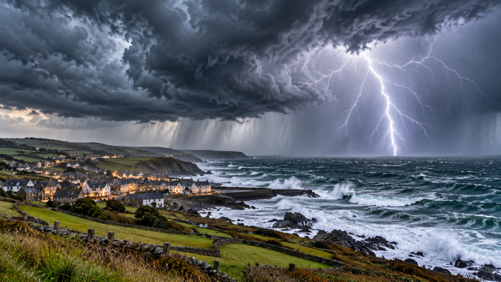
A storm is a period or system of unusually disturbed weather. It may bring strong winds, heavy rainfall, hail, snow, lightning or several of these together. The UK Met Office explains that “storm” is a broad term rather than one single meteorological system.
In British news reports, the word often describes an intense area of low pressure crossing the North Atlantic. A thunderstorm, on the other hand, involves thunder and lightning produced by a towering cloud. Both can be dangerous, but they do not develop in exactly the same way.
Why does the UK get so many storms?
Britain sits close to a boundary between relatively warm air from lower latitudes and colder polar air from the north. It is also beside the North Atlantic, where powerful weather systems frequently form and move eastwards.
High above the Atlantic, a fast-moving ribbon of wind called the jet stream often helps guide these systems towards the UK. In autumn and winter, stronger temperature contrasts between polar and warmer air can make the jet stream more powerful and favour the development of deep low-pressure systems.
That does not mean every storm comes directly over Britain, or that every windy day is a named storm. The exact track depends on where the jet stream is positioned and how the atmosphere is behaving at the time. The Met Office guide to UK low-pressure systems explains why these patterns are common.
How do Atlantic storms form? Step by step
- Warm and cold air meet. Over the North Atlantic, different air masses come close together along a broad boundary called a front.
- A disturbance develops. Air begins circulating around a developing area of low pressure. The rising air encourages cloud formation.
- The central pressure may fall. Under suitable upper-atmosphere conditions, air is removed from above the developing system and its central pressure drops further.
- Winds strengthen. As the pressure contrast between the storm centre and surrounding regions increases, winds can become much stronger.
- Weather fronts move across the country. Warm, cold and sometimes occluded fronts can bring extensive cloud, persistent rain and sharp changes in wind and temperature.
Some systems become particularly intense when they strengthen rapidly, although many areas of low pressure produce only ordinary wet and breezy weather.
What is low pressure, and why does it cause strong winds?
Atmospheric pressure is the force exerted by the air above us. In a low-pressure system, the pressure is lower than in surrounding areas. Air tends to move in response to those differences, producing winds.
The greater the pressure change over a given distance—called the pressure gradient—the greater the potential for strong winds. Earth’s rotation also deflects moving air. In the Northern Hemisphere, air generally circulates anticlockwise around low pressure.
On a weather map, closely packed isobars—lines joining places with equal pressure—often indicate a stronger pressure gradient and potentially windier conditions. But local gusts also depend on terrain, altitude and other atmospheric factors. The Met Office’s explanation of high and low pressure gives a useful introduction.
What is the jet stream, and how does it affect Britain?
The jet stream is a band of strong winds several miles above the Earth’s surface, generally flowing from west to east. Its position and shape help influence where Atlantic weather systems travel and how quickly they strengthen or weaken.
Think of it as an atmospheric steering current rather than a single fixed route. At times it flows relatively straight across the ocean. At other times it bends north and south, potentially slowing weather systems or allowing unsettled weather to linger over one part of the UK.
The jet stream is connected to temperature differences across large parts of the atmosphere. It often changes position with the seasons, helping explain why Britain’s weather can shift from long settled spells to repeated Atlantic storms. Read the Met Office guide to the jet stream.
Why are UK storms often worse in autumn and winter?
During autumn and winter, contrasts between cold polar air and milder air farther south are often stronger. These contrasts can strengthen upper-level winds and help Atlantic low-pressure systems intensify.
Winter also brings shorter days, colder conditions and sometimes saturated ground. Even a storm that produces moderate rainfall can cause problems if rivers are already high or soil cannot absorb much additional water.
However, a storm’s impacts depend on its actual track, wind speed, rainfall amounts, coastal tides and local conditions—not just the season. Summer thunderstorms can also cause flash flooding and dangerous lightning.
Atlantic windstorms versus thunderstorms
| Feature | Atlantic windstorm | Thunderstorm |
|---|---|---|
| Main driver | Large-scale low pressure and strong temperature contrasts | Rising warm, moist air in an unstable atmosphere |
| Typical scale | Can affect large areas of the UK | Can be localised, although clusters can cover wider areas |
| Common hazards | Gales, heavy rain, coastal waves and flooding | Lightning, sudden downpours, hail and local gusts |
| Time of year | Often most significant in autumn and winter | Can occur year-round; severe UK thunderstorms often in summer |
| Lightning required? | No | Yes—thunder is produced by lightning |
How does a thunderstorm form over the UK?
Many thunderstorms develop when three conditions come together: moisture, atmospheric instability and a source of lift.
Sunshine can warm the land, causing moist air near the ground to rise. Weather fronts or hills can also push air upwards. As the air rises, it cools and water vapour condenses into tiny cloud droplets. Condensation releases heat, sometimes helping the cloud grow further.
If the atmosphere remains unstable, the cloud may grow into a tall cumulonimbus cloud. Powerful updraughts and downdraughts within it can produce heavy rain, hail, strong gusts and lightning. The Met Office explains that thunderstorms can occur in the UK at any time of year, although the most severe often occur in summer.
Why do storms produce lightning and thunder?
Within a thundercloud, strong air currents move ice particles, droplets and larger icy pellets through different parts of the cloud. Collisions between these particles help separate electrical charge. When the electrical difference becomes great enough, a sudden discharge occurs: lightning.
A lightning channel heats nearby air extremely rapidly. The air expands, creating a pressure wave that we hear as thunder. Because light travels much faster than sound, we see the flash before we hear the rumble.
You can learn more in our related article: Why Do We See Lightning Before We Hear Thunder?.
Safety reminder: if you hear thunder, go inside a substantial building or fully enclosed vehicle. Do not shelter beneath an isolated tree or remain in open water.
Why can some thunderstorms cause hail or sudden flooding?
Hail forms when strong updraughts carry water into cold parts of a thundercloud, where it freezes and grows as additional droplets collide with it. The strongest storms can support larger hailstones for longer before they fall.
Sudden flooding happens when very heavy rain falls faster than drains, soil or streams can carry it away. A short but intense shower may therefore cause disruption even if the total rain over an entire day is not exceptional.
For road users, surface water can make braking and steering more difficult. Never drive or walk into floodwater when you cannot judge its depth or speed.
What is a ‘weather bomb’?
A weather bomb is a popular name for an Atlantic low-pressure system that deepens exceptionally quickly. Meteorologists use the term explosive cyclogenesis for rapid pressure falls, with the exact threshold adjusted for latitude.
The rapid intensification can produce powerful winds, but not every intense storm meets the technical criteria. Headlines using this phrase should not replace a check of actual official warnings. The Met Office explains this phenomenon in more detail.
How and why are UK storms given names?
Not every low-pressure system is named. The Met Office collaborates with Ireland’s Met Éireann and the Netherlands’ KNMI on a storm-naming system designed to improve communication about potentially disruptive weather.
Names are chosen when a system is expected to have a sufficiently significant impact, taking account of weather warnings and likely disruption. Naming helps the public, media and emergency services recognise that different reports may concern the same storm.
A storm does not become more dangerous because it has a name, and a powerful system may still require attention even without one. For live information, always use the official Met Office UK weather warnings.
What do yellow, amber and red UK weather warnings mean?
| Warning | What it tells you | Useful response |
|---|---|---|
| Yellow | Weather may cause impacts, including disruption, depending on likelihood and severity | Read the warning details and adjust plans where appropriate |
| Amber | Increased likelihood or severity of significant impacts | Consider changing travel and activities; follow local safety advice |
| Red | Dangerous weather with a high risk of serious impacts | Take action to protect yourself and follow official instructions |
Warning colour alone does not tell the whole story. Met Office warnings are based on both likelihood and potential impact. Read the area, times, hazards and advice rather than relying only on the colour. The latest warnings are at weather.metoffice.gov.uk.
Why are coastal areas often badly affected?
The coast is exposed to strong onshore winds, high waves and sometimes storm surge. A storm surge is a temporary rise in sea level caused mainly by atmospheric pressure and winds pushing water towards the shore.
If a surge coincides with a high astronomical tide, coastal flooding may become more severe. Beaches, cliffs, promenades and sea walls can be especially hazardous during a storm, even when the sea looks attractive to photograph.
Stay away from large waves and exposed coastal edges when warnings are in force. Flood alerts and warnings can also be checked through the relevant national flood service for England, Scotland, Wales or Northern Ireland.
Does climate change mean every UK storm is getting stronger?
Climate change is altering the background conditions in which storms form, but it is not scientifically sound to claim that every individual UK storm is caused by climate change.
A warmer atmosphere can hold more water vapour, increasing the potential for heavy rainfall in suitable conditions. Changes in storm tracks and wind speeds are more complex and vary by region, season and the measure being studied.
Scientists assess long-term patterns using observations, climate models and event-attribution studies. A single dramatic storm does not establish the long-term trend on its own. This is why careful explanations distinguish rainfall intensity, wind hazards and coastal impacts rather than treating all storms as identical.
How can you prepare for stormy weather in the UK?
- Check official warnings. Review the Met Office forecast and warning details for your local area before travelling.
- Secure loose outdoor items. Garden furniture, bins and other objects can become hazards in strong gusts.
- Plan for travel disruption. Rail, road, ferry and flight services may change during severe weather.
- Charge essential devices. Keep a phone charged and know where you can find a torch if electricity is interrupted.
- Avoid floodwater. It may hide hazards and can move more powerfully than it appears.
- Take lightning seriously. Move indoors at the first sound of thunder and stay sheltered until the danger has passed.
- Follow local emergency advice. Call 999 if someone is in immediate danger.
These precautions do not require panic. The aim is to respond to the actual forecast and the conditions in your area.
Frequently asked questions
Why is the UK so stormy?
The UK lies near the Atlantic storm track and the boundary between cold polar and warmer air. The jet stream frequently directs low-pressure systems towards Britain, especially during the colder months.
Do all storms have thunder and lightning?
No. A thunderstorm involves lightning, but a large Atlantic windstorm can bring powerful winds and heavy rain without thunder.
What month has the most storms in the UK?
There is no single month that is always stormiest. The risk of significant Atlantic windstorms tends to be higher through autumn and winter, while thunderstorms often occur in warmer months.
Why do winds get stronger when pressure drops?
Wind strength depends partly on the pressure gradient—the difference in pressure over distance. Closely packed isobars often indicate stronger winds, particularly around deep low-pressure systems.
Can Britain get tornadoes?
Yes. Tornadoes can occur in the UK, although most are far smaller and less destructive than the strongest tornadoes seen elsewhere in the world. A tornado is a specific rotating column of air, not the same as an ordinary windstorm.
Can I tell whether a storm is coming by looking at clouds?
Growing towering clouds may indicate developing showers or thunderstorms, while spreading layered cloud can signal an approaching weather front. Cloud appearance alone is not enough to predict timing or danger accurately.
Are named storms always more dangerous?
Not necessarily. Naming is intended to support clear public communication about significant impacts. Always check the warning level and forecast for your location.
The bottom line
UK storms form when energy, air movement and moisture combine in the atmosphere. Many of Britain’s autumn and winter storms grow as Atlantic low-pressure systems where warm and cold air interact, with the jet stream helping them develop and move. Thunderstorms follow a different, more localised process involving unstable, rising moist air.
The key is understanding that no two storms are exactly alike. Wind, rainfall, lightning, flooding and coastal hazards can vary greatly between events, which is why official warnings matter more than dramatic headlines.
Sources: Met Office — UK storms and low pressure, Met Office — Jet stream, Met Office — Thunder and lightning, Met Office — UK weather warnings.
Leave a Comment