A familiar road disappears into a grey veil, trees fade into the distance and tiny drops of moisture hang in the air. That is fog: one of the most striking—and sometimes disruptive—features of British weather.
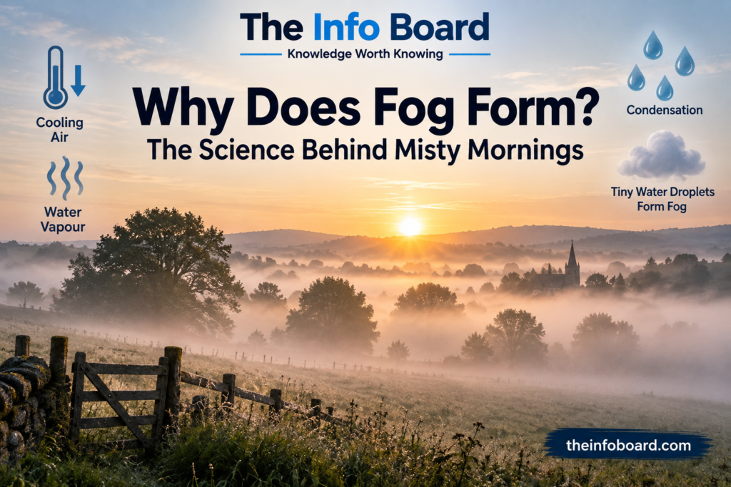
Fog is essentially a cloud at ground level. It forms when air near the ground becomes saturated and water vapour condenses into tiny visible droplets, usually after cooling or when moisture is added. The important ingredients include temperature, humidity, the dew point, wind and local geography.
Here is how fog forms, why it favours some mornings over others, and how to tell the difference between fog, mist, haze and freezing fog.
What is fog, and how is it different from a cloud?
Air always contains some water vapour, which is an invisible gas. Fog appears when enough of that vapour becomes tiny liquid water droplets suspended close to the Earth’s surface. Occasionally, ice crystals can also be involved in very cold conditions.
The physical process is similar to cloud formation higher in the atmosphere. The distinction is where the droplets occur: fog touches the ground and reduces visibility. According to the UK Met Office, the meteorological definition of fog involves visibility below 1,000 metres.
The droplets are individually very small, but countless droplets scattered through the air redirect incoming light. Distant objects become indistinct or disappear even though there is no solid wall between you and them.
How does fog form? The process step by step
- Moisture is present. The air contains water vapour from evaporation, wet ground, rivers, lakes or other sources.
- The air becomes cooler or gains moisture. A clear night can allow the ground to lose heat, cooling the lowest layer of air. Other fog types form when moist air moves over a colder surface.
- Relative humidity increases. As air cools without losing much vapour, it moves closer to saturation.
- Condensation begins. Near saturation, water vapour can collect on microscopic airborne particles, forming droplets.
- The droplets remain near the ground. If they become numerous enough to reduce visibility, the result is mist or fog.
The exact conditions vary, which is why one valley can be completely foggy while a nearby hill is clear.
What is the dew point?
The dew point is the temperature to which air would need to cool, at roughly constant pressure and water-vapour content, to become saturated. When air temperature and dew point move close together, fog or low cloud becomes more likely if other conditions are suitable.
For example, imagine air at 10°C with a dew point of 9°C. Only a small amount of cooling may be needed before condensation begins. Air at 10°C with a dew point far below that temperature would generally need much more cooling.
This resembles condensation on a cold bathroom mirror or window. Moist air touching a sufficiently cold surface cools until moisture condenses. The difference is that fog droplets form and remain suspended in the air, rather than on glass.
For household condensation, read our separate guide, Why Does Condensation Form on Windows?. The same basic phase change is involved, but the practical causes and solutions are different.
Why does fog often form early in the morning?
On clear, calm nights, the ground loses energy by emitting infrared radiation. The air closest to it cools as well. If that air is moist enough, it may reach saturation before dawn, creating radiation fog.
The hours before sunrise often bring the lowest near-surface temperatures, so early morning is a common time to see fog. Light winds may help spread cooling through the shallow surface layer, but strong winds can mix in drier or warmer air and prevent this particular fog from developing.
After sunrise, sunlight can warm the ground. The air warms, the relative humidity falls and droplets evaporate, often clearing radiation fog by late morning. Not every patch disappears quickly, however—particularly in winter.
Why doesn’t fog form every cold night?
Cold air is only one piece of the puzzle. Very dry air may never reach saturation as temperatures fall. Cloud cover can reduce overnight cooling, while stronger winds can mix the atmosphere and disrupt a shallow fog layer.
Geography also matters. Cold air tends to drain into valleys, moist ground can supply vapour, and urban heat can influence local temperatures. A forecast calling for fog therefore depends on relatively small changes in several interacting conditions.
The main types of fog compared
| Fog type | How it develops | Where you might see it |
|---|---|---|
| Radiation fog | The ground cools overnight and chills moist air above it | Fields, countryside and valleys on calm, clear mornings |
| Advection fog | Moist air moves over a colder land or sea surface | Coasts and areas affected by moving air masses |
| Valley fog | Cold air collects in low ground, often allowing saturation | River valleys and sheltered basins |
| Upslope fog | Moist air is pushed uphill, expands and cools | Hillsides and mountain slopes |
| Evaporation or steam fog | Water vapour from warmer water enters colder air and condenses | Above lakes, rivers or other relatively warm water |
| Freezing fog | Supercooled droplets remain suspended at temperatures below 0°C | Cold winter mornings; can leave ice on surfaces |
These labels describe different formation mechanisms or conditions, and more than one may apply. The Met Office fog guide explains the principal types and why some occur more often at particular times of year.
What’s the difference between fog and mist?
Fog and mist are made of broadly the same material—tiny suspended droplets of water. The main technical difference is how far you can see.
| Condition | Typical visibility definition | What causes it |
|---|---|---|
| Fog | Less than 1,000 m | Suspended water droplets or ice particles near ground level |
| Mist | Generally at least 1,000 m, but visibility is reduced | Similar droplets, usually in lower concentrations |
| Haze | Variable | Very small dry particles such as dust, smoke or pollution |
| Low cloud | Depends on its height and whether it touches ground | Cloud droplets at a low altitude |
The 1,000-metre fog threshold is particularly useful in meteorology and aviation. Public forecasts sometimes reserve the word fog for much poorer visibility. Thick fog can cause serious travel disruption even at a fraction of that distance.
Why is fog white or grey?
Water vapour cannot normally be seen, but condensed water droplets scatter light. The many droplets in fog redirect visible light broadly across different wavelengths, giving fog its characteristic whitish appearance.
Fog can look grey when there is less incoming light, such as at dawn or under overcast skies. It may also appear bright in sunlight because scattered light is reaching your eyes from many directions.
That is different from the blue-sky effect, where much smaller gas molecules scatter shorter wavelengths more strongly. Our article Why Is the Sky Blue? explains that process.
Why does fog collect near rivers, lakes and valleys?
Wet ground, rivers and lakes can raise the amount of moisture available to nearby air. If that moist air cools, saturation may occur sooner than it would in drier surroundings.
Valleys have an additional advantage for fog formation: after sunset, denser cold air can drain downhill and collect in low-lying areas. This can create a temperature inversion, with colder air trapped below relatively warmer air.
As a result, a river valley can sit under a blanket of fog while higher ground remains above it in sunshine. This contrast is one reason misty valley scenes look so dramatic.
Why can fog last all day?
Sunlight often clears fog, but in late autumn and winter it may not provide enough warmth. Thick cloud above can reduce the sunlight reaching the surface; weak winds and stable layers of air may prevent mixing with drier air.
Some fog therefore persists for hours or even longer. Coastal advection fog can also remain despite daytime sunshine because moist air keeps passing over a cooler surface.
Fog may disappear either because the droplets evaporate as the air warms, or because moving air mixes the foggy layer with other air, reducing the droplet concentration.
What is freezing fog, and why can it be dangerous?
Freezing fog contains supercooled water droplets—liquid droplets at temperatures below freezing. When these droplets strike cold surfaces, they can freeze and produce deposits of ice called rime.
This can coat trees, fences, pavements and roads, creating a particular hazard for walking and driving. Visibility may already be very poor, so icy surfaces can add another danger.
Fog is not automatically freezing fog whenever the air temperature is around 0°C. The presence of supercooled droplets and suitable surface conditions is important.
Why is fog so difficult to forecast?
Fog formation depends on small changes in temperature, humidity, wind, cloud cover and the shape of the landscape. A difference of one or two degrees or a slightly stronger breeze can determine whether moisture condenses or remains invisible.
This makes the location and depth of fog hard to predict precisely, especially where coastal conditions, valleys or changing winds create sharp local variations. Conditions may also change quickly along a journey.
Driving in fog in the UK: practical safety points
Fog matters for more than scenery. Reduced visibility can make road hazards harder to spot and affect rail, ferry and air travel. According to the Met Office’s fog safety advice, drivers should take extra care.
- Slow down to match how far you can safely see, and increase the gap to the vehicle ahead.
- Use headlights when visibility is seriously reduced. The Highway Code’s general threshold is when you cannot see beyond 100 metres.
- Use fog lights when appropriate for seriously reduced visibility and switch them off when conditions improve so you do not dazzle others.
- Avoid full-beam headlights in thick fog, because reflected light can make seeing ahead harder.
- Allow extra journey time. Patches of fog can be localised and appear suddenly.
Before travelling, check current forecasts and any weather warnings. The Met Office travel guidance explains how fog affects transport.
Can you see fog forming at home?
You can recognise the same basic physics in everyday condensation. A cold drinks glass on a humid day collects droplets because the air immediately next to the surface cools. A steamy bathroom mirror can do the same.
These examples are not literally ground-level fog: droplets collect on a surface instead of remaining suspended in air. But they demonstrate why cooling moist air can make invisible water vapour become liquid water.
Fog is part of the water cycle: water evaporates into the atmosphere, condenses when conditions permit, and evaporates again as the air warms or dries.
Frequently asked questions
Is fog just a cloud touching the ground?
Essentially, yes. It contains tiny water droplets, and occasionally ice particles, suspended at or very near the Earth’s surface.
Why is fog usually worse in the morning?
The ground often cools most during the hours after sunset and before sunrise. Moist air near the ground may then reach saturation, forming radiation fog.
Can fog happen in summer?
Yes. Fog is not limited to winter; it can develop whenever suitable moisture, cooling and wind conditions occur.
Is fog made of water vapour?
Not exactly. Water vapour is invisible. The fog you see is mostly countless tiny liquid water droplets produced when vapour condenses.
Why does fog lift after sunrise?
Sunlight often warms the surface and nearby air, encouraging droplets to evaporate. Changing winds can also mix and disperse a fog layer.
Can you have fog below freezing?
Yes. Supercooled droplets can remain liquid below 0°C and freeze when they meet suitable cold surfaces, producing freezing fog and icy deposits.
What is the difference between mist and fog?
Both consist mainly of tiny water droplets, but fog is generally defined by visibility below 1,000 metres; mist reduces visibility less severely.
The bottom line
Fog forms when moisture in air near the ground condenses into tiny droplets that remain suspended and reduce visibility. Cooling air to its dew point is a common pathway, but moving moist air over colder surfaces and adding moisture to cold air can create fog too.
Temperature, humidity, wind and geography explain why fog can blanket one valley, miss another, and vanish soon after sunrise—or linger throughout a winter day.
Sources: Met Office — What Is Fog? and Met Office — Staying Safe in Fog.