Fog can transform a familiar landscape in minutes. Roads disappear into a grey haze, distant buildings become difficult to see, and tiny droplets of water seem to hang in the air.
But where does fog actually come from?
Fog is essentially a cloud that forms at or very close to the ground. It develops when air near the surface becomes cool enough for some of the invisible water vapour it contains to condense into millions of tiny liquid water droplets.
Understanding fog means understanding a few basic ideas about temperature, humidity and condensation.
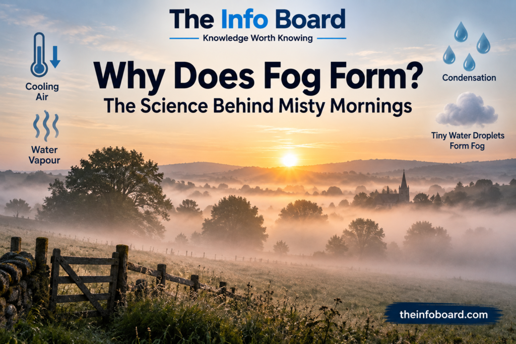
Why Does Fog Form? The Science Behind Misty Mornings
What Is Fog?
The air around us contains water in the form of invisible water vapour.
When conditions are right, that water vapour changes into extremely small liquid droplets. If enough of those droplets remain suspended near the ground, they create the cloudy layer we call fog.
Meteorologically, fog is generally distinguished from mist by visibility. Fog reduces visibility to less than 1,000 metres, while mist allows visibility beyond 1,000 metres.
In simple terms:
Fog is basically a cloud touching the ground.
How Does Fog Form?
One of the most common ways fog forms is when the ground becomes cold and cools the air immediately above it.
Imagine a calm, clear night.
After sunset, the ground begins losing heat. As the ground cools, the layer of air directly above it also becomes colder.
Eventually, that air may reach a temperature at which it becomes saturated with moisture.
This temperature is known as the dew point.
Once the air reaches its dew point, some of its water vapour condenses into tiny liquid droplets.
When enough droplets form and remain suspended in the air, we see fog.
What Is the Dew Point?
The dew point is an important part of understanding fog.
It is the temperature at which air becomes saturated enough for water vapour to begin condensing.
You have probably seen the same basic process inside your home.
When warm, humid air touches a cold window, water can appear on the glass. The glass has cooled the nearby air enough for water vapour to condense.
Fog involves similar physics, except the condensation occurs in the atmosphere close to the ground rather than simply on a window.
Why Is Fog Common in the Morning?
Fog often appears during the early morning because the ground has had the entire night to cool.
Clear nights can be particularly favourable because heat escapes from the ground more readily when there is little cloud cover.
If the air is moist and winds are light, temperatures near the surface can fall sufficiently for condensation to occur.
Then the Sun rises.
As sunlight warms the ground, the air near the surface begins warming as well. The tiny fog droplets evaporate back into water vapour, and the fog can gradually disappear.
This explains why a morning can begin extremely foggy but become bright and clear a few hours later.
Why Doesn’t Fog Form Every Cold Night?
Cold temperatures alone aren’t enough.
Fog formation depends on several factors, including:
- how much moisture is present in the air
- air temperature
- ground temperature
- wind speed
- cloud cover
- local geography
The Met Office notes that moisture, light winds and the appropriate temperature conditions are important ingredients in fog formation.
If the air is very dry, cooling may not produce fog.
If winds are too strong, they can mix the air and prevent the concentrated layer of moisture near the surface that would otherwise favour certain types of fog.
Are There Different Types of Fog?
Yes. Fog doesn’t always form in exactly the same way.
One common type is radiation fog. This often develops overnight when the ground loses heat and cools the moist air above it.
Advection fog occurs when relatively warm, moist air moves across a colder surface and becomes cooled.
Valley fog can develop when cold, dense air collects in valleys.
Upslope fog forms when moist air is forced up hills or mountains. The rising air cools, allowing moisture to condense.
There is also evaporation fog, which can develop when cold air moves across relatively warm water or wet ground.
Despite their different causes, they all involve moisture and cooling conditions that allow tiny droplets to form near the ground.
Why Does Fog Look White or Grey?
Individual water droplets are tiny and transparent.
But fog contains an enormous number of them.
Light entering the fog is scattered by these droplets in many directions. Instead of travelling directly from an object to your eyes, much of the light becomes scattered.
This makes distant objects increasingly difficult to see and gives fog its familiar white or grey appearance.
The thicker the fog, the more severely visibility can be reduced.
Read:Why Does Ice Float on Water? The Science Behind It
What’s the Difference Between Fog and Mist?
Fog and mist are fundamentally very similar.
Both consist primarily of tiny water droplets suspended near the ground.
The main distinction is visibility.
In meteorological terms, visibility below 1,000 metres is classified as fog. When visibility remains at or above 1,000 metres, the condition is generally classified as mist.
So mist can be thought of as a less dense version of fog.
Is Haze the Same as Fog?
No.
This is an important difference.
Fog and mist consist mainly of water droplets.
Haze is generally associated with extremely small dry particles suspended in the atmosphere, which may include dust, smoke or pollution.
Both can make distant objects difficult to see, but the physical material causing the reduced visibility is different.
Is Fog Really a Cloud?
Yes.
Fog and clouds are produced by essentially the same underlying process: water vapour condenses or freezes into tiny droplets or crystals.
The important difference is where they form.
Clouds can exist at many different heights in the atmosphere, while fog develops at or near the Earth’s surface. NOAA describes fog as a type of cloud that touches the ground.
Why Does Fog Often Form Near Rivers and Lakes?
Areas close to water can have plenty of moisture available to the surrounding atmosphere.
Rivers, lakes, reservoirs and wet ground can therefore help create conditions favourable for fog.
The Met Office notes that high moisture levels mean the air does not need to cool as far before reaching the point at which fog can form.
This is one reason valleys containing rivers and lakes can sometimes experience spectacular foggy mornings.
Why Does Fog Sometimes Stay All Day?
Sunlight often clears fog by warming the ground and the air above it.
But that doesn’t always happen.
During winter, sunlight is weaker and days are shorter. Thick cloud above the fog can also limit solar heating.
Under certain stable weather conditions, cold air can remain trapped near the surface, allowing fog to persist for many hours and occasionally much longer.
What Is Freezing Fog?
Fog can even exist when temperatures are below freezing.
In freezing fog, tiny water droplets can remain liquid despite having temperatures below 0°C. These are known as supercooled droplets.
When they come into contact with cold objects such as trees, fences or other exposed surfaces, they can freeze and produce an icy deposit known as rime.
This can create striking winter scenery but may also produce hazardous conditions.
How Does Fog Disappear?
Fog disappears when conditions no longer support the suspended droplets.
The most familiar example occurs after sunrise.
As the ground warms, the surrounding air warms. The liquid droplets can then evaporate back into invisible water vapour.
Wind can also disperse fog by mixing the cool moist layer near the surface with surrounding air.
That’s why fog can sometimes seem to vanish remarkably quickly.
Why Is Fog Difficult to Predict?
Meteorologists understand the physics behind fog very well, but forecasting exactly where and when it will develop can still be challenging.
Small changes in wind speed, cloud cover, humidity or temperature can determine whether a location remains clear, develops light mist or becomes covered by dense fog.
That sensitivity makes fog one of the more difficult local weather phenomena to forecast accurately.
Fog Is Part of the Water Cycle
Fog might appear mysterious, but it is another expression of Earth’s continuous water cycle.
Water evaporates from oceans, lakes, rivers, soil and other surfaces and enters the atmosphere as water vapour.
When conditions allow that vapour to cool and condense, liquid droplets can form.
Sometimes those droplets become clouds high above us.
Sometimes they form almost exactly where we’re standing.
And that’s fog.
Frequently Asked Questions
Is fog a cloud on the ground?
Essentially, yes. Fog consists of tiny suspended water droplets or sometimes ice crystals and forms at or very close to the Earth’s surface.
Why is fog worse early in the morning?
The ground often reaches its lowest temperatures around the end of the night, which can cool moist surface air sufficiently for fog to develop.
What’s the difference between fog and mist?
The main meteorological distinction is visibility. Fog generally means visibility below 1,000 metres, while mist allows visibility of at least 1,000 metres.
Can fog happen in summer?
Yes. Fog can occur at any time of year when the necessary moisture and temperature conditions develop.
Why does the Sun clear fog?
Solar energy warms the ground and surrounding air, encouraging the tiny liquid droplets in the fog to evaporate back into invisible water vapour.
Can fog freeze?
Yes. Freezing fog can occur at sub-zero temperatures, and supercooled droplets may freeze when they contact surfaces.
Is fog made from water vapour?
Not exactly. Water vapour itself is invisible. The fog we can actually see consists mainly of tiny liquid water droplets suspended in the air.
External source for the published article: Met Office — What is fog?
[…] Read:Why Does Fog Form? The Science Behind Misty Mornings […]